Looking for some elevation gain, lake and rolling hills overlooks, or rivers and waterfalls? This hike is for you!
Overview:
- Distance: 7.2 miles
- Elevation gain: 1,076 ft
- Time: 3 hours 44 minutes
We found this trail on AllTrails under the name “Carlton Peak via Superior Hiking Trail”. As we all know, AllTrails wasn’t fully honest about how long this hike would take. This hike was estimated at 3 hours and 8 minutes, but we found that if you want to stop and enjoy some of the river and waterfalls, your hike will take longer. We consider ourselves hikers that are in-shape and used to this terrain, and still don’t know how this could take less time without ignoring all the beauty.
Part I: Waterfalls & River

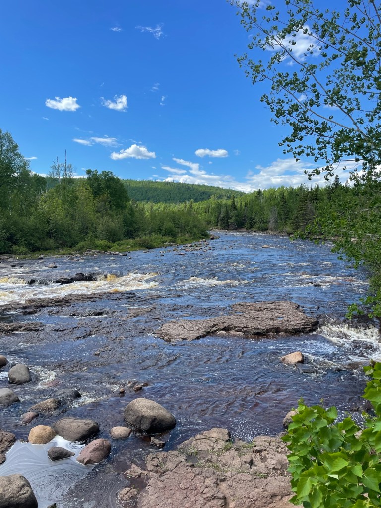
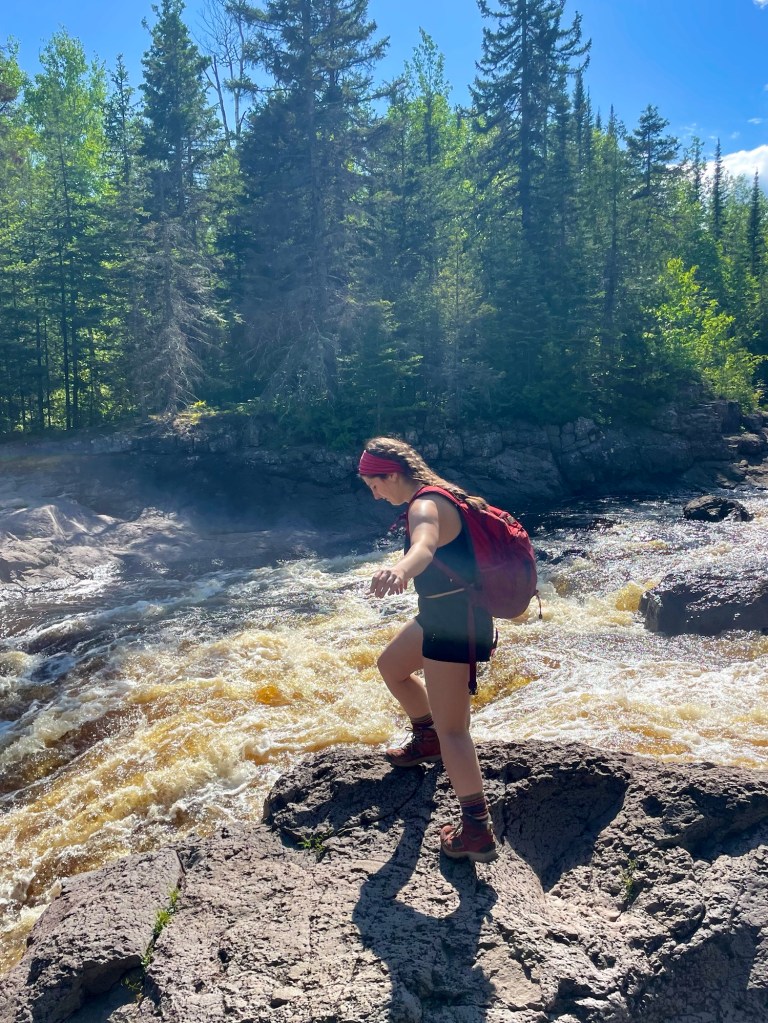
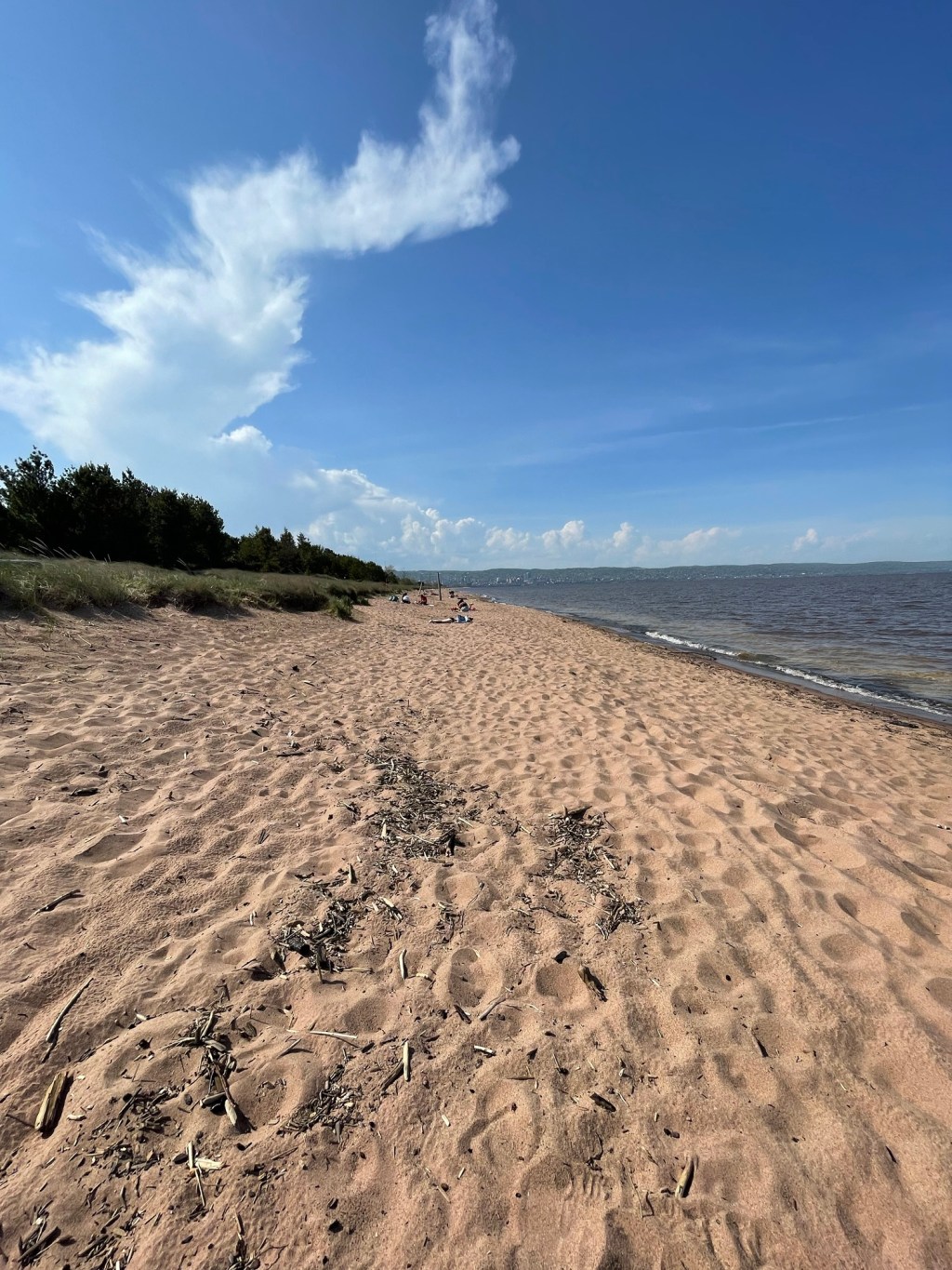
The first section of this trail begins at the start of the beautiful Temperance River State Park. The Temperance River is the star of the show, carving out slot canyons and potholes in the rock all around. You’ll get the treat of seeing Hidden falls, and if you’re lucky like we were this past weekend, you might encounter a dozen Swallowtail butterflies relaxing on the shores of the river together.
After hiking past multiple waterfalls, you’ll find yourself where the river widens and you can walk down to the water. The water was honestly a great temperature for swimming and could be a fun summer activity (as long as you’re far enough upstream that you’re not too close to any waterfalls). We paused here before continuing ahead into the trees.
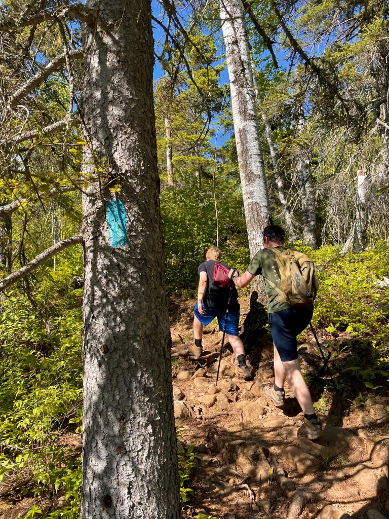
Part II: The Forest
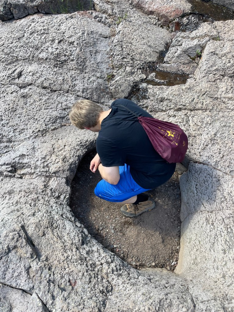
After leaving the river, you’ll start a very gradual climb upwards. We actually pulled off one more time to head down to the river on an unofficial steep trail to a little waterfall, and were glad that we did! We got to see a river-formed pothole up close. A special feature of Temperance river is that it seems to like forming potholes! These are cylinders drilled into the rock through the power of water and debris. This one was big enough to take a seat in!
You’ll get one more amazing view over the river before heading into solid forest. We saw a thru-hiker wading in the water here, far below the overlook. The trees here can get a little crowded, but the trail is nice and clear. You’ll find a little elevation, but nothing too intimidating. You’ll reach the end of the hiking club trail and find the password if that’s you’re thing, and you’ll want to continue on the Superior Hiking Trail (SHT) towards Carlton Peak.

Part III: The Elevation Gain
After a while in the woods and slow elevation gain, you’ll encounter some serious incline. We had to take breaks through this part of the hike, and kept thinking the elevation must be over. This hike though is truly beautiful, and the elevation is still continuing. This part is all about stamina but gives you much needed periodic breaks. This part is solid forest and goes without any rivers or overlooks.
Part IV: You Thought THAT was Elevation Gain?
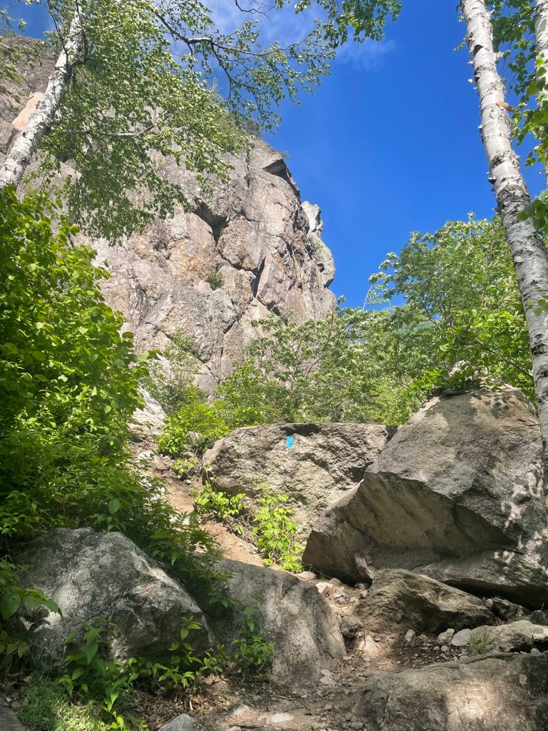
Yes! The elevation is done! You’re on flat ground, maybe even a little decline. There’s absolutely no way there’s another hill waiting for you. Until – that giant rock in front of you? I can confirm, Carlton Peak is in front of you. It looks like you’re going to have to learn how to rock climb to get up to the top. The trail actually curves around the right side of the peak and makes a very steep, but doable hike. Get ready for a hike somehow steeper than the previous incline you just experienced.
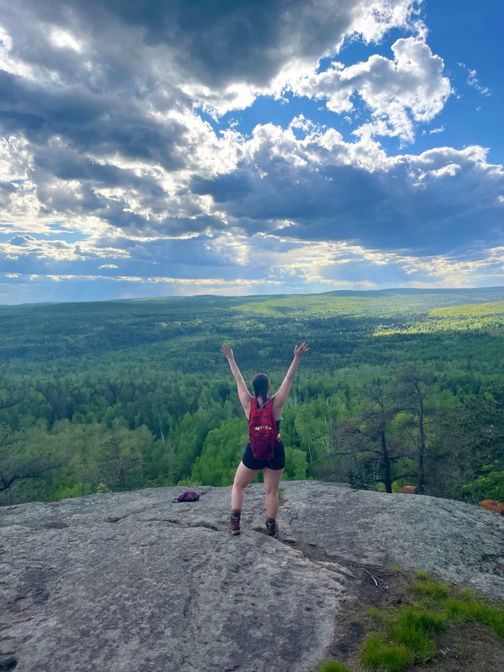
Part V: The Reward


Off to the right you’ll find a landing. Take in the views, but don’t stop here. Continue just a little farther on the SHT to the sign leading you to the summit. The hill here isn’t so bad after everything else on the trail, and eventually you’ll reach a clearing at the very top of the giant rock that once stood before you. You’ll know you’re at the top once you get the amazing 360 views all around. Hills roll beneath you, and the lake reaches way out to Wisconsin.
While we were on the peak, a summer afternoon shower passed over us. We got sun and light rain, leading to a magical experience. This couldn’t have been a better view. The hike back is much easier, but you still have to be careful to not fly down some of the declines. Watch out for the mosquitos if you’re heading back later in the day – we got lots of bites, but then again didn’t use any bug spray.
Have Fun at Carlton Peak!
We actually completed this hike as a way to start preparing for a trip to Grand Teton National Park, but this would be a great hike just for fun!


Leave a comment